Orcheta
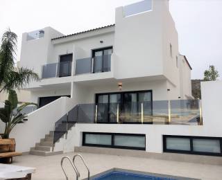
Gestalihome sells homes in Orcheta,
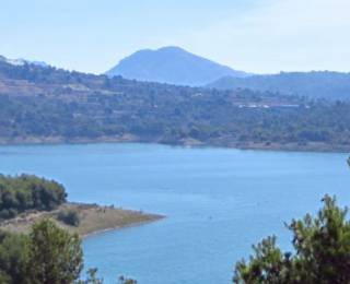
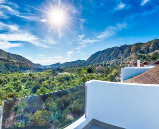
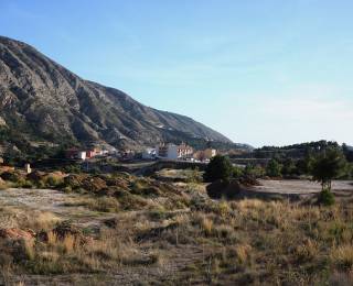
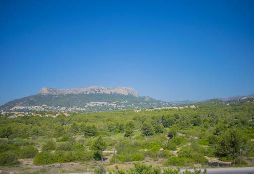
located on the maritime slope of the prebetic Valencian region, south of the foothills of the Sierra de Aitana, Orcheta has a mountainous relief, rugged by the mountains of Orcheta and Relleu; Between the two runs the river Sella that converges, still within the term, with the Amadorio river to form the reservoir of the same name, on the border with the municipality of Villajoyosa.
From Alicante, you can access this town by the AP-7 or the N-332 then taking the CV-770 at the height of Villajoyosa.
Its economy has traditionally been based on agriculture. The main agricultural productions of the municipality during the 18th and 19th centuries were cereals, almond trees, carob trees, vineyards and fruits, Villajoyosa being the main market for its fruits and flours. From the end of the 19th century, citrus fruits were replacing other crops with a remarkable number of orange and lemon trees.
The tourism sector is developing due to its proximity to tourist areas such as Benidorm or Altea; For this, a general urban planning plan is being developed where tourism is promoted.
What to see in Orcheta:
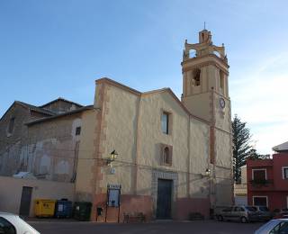
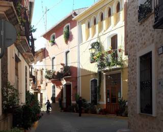
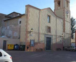
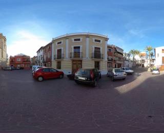
Its town center, its medieval and Moorish past is evident. Through its narrow streets we find the parish church of San Jaime Apóstol or the Palace of the Order of Santiago.
Ruins of the Muslim castle. Building of architectural interest.
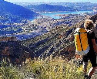
Hiking routes. Several routes of tourist interest reaching the cave of the local mountain range.
The rock of the cantal. Spectacular rock easily accessible from where you can see the coast.
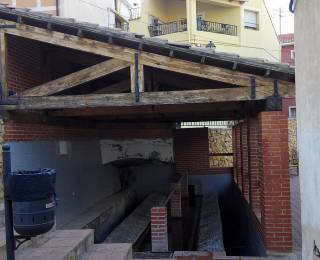
Old municipal laundry.
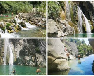
"The strait". Spectacular narrow gorge of water that joins Relleu and Orcheta.
The Amadorio reservoir is located between the municipalities of Villajoyosa and Orcheta, in the province of Alicante (Spain). The four kilometers in a straight line that separate it from the sea make it the closest to the sea in all of Spain.
It was built in 1957 along the Amadorio riverbed on a surface of 103 hectares and with a maximum capacity of 15.8 hm³. It has a gravity dam 63 m high and 318 m long at the top, with a 400 m³ / s capacity gate spillway.
This reservoir belongs to the Júcar Hydrographic Confederation and its waters are used for irrigation and supply, through the Marina Baja Consortium, of the cities of Benidorm and Villajoyosa.
Its patron saint festivities are celebrated on the penultimate weekend of September in honor of San Nazario and Santo Tomás de Villanueva.


